Spatiotemporal Dynamics of Water Quality Indicators in Koka Reservoir, Ethiopia
20 February 2023
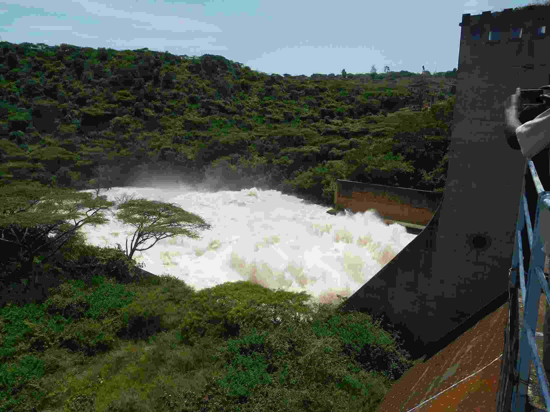
Koka Dam, Ethiopia
Authors: Endaweke Assegide, Hailu Shiferaw, Degefie Tibebe, Maria V. Peppa, Claire L. Walsh, Tena Alamirew, and Gete Zeleke
Abstract: The science and application of the Earth observation system are receiving growing traction and wider application, and the scope is becoming wider and better owing to the availability of the higher resolution of satellite remote sensing products. A water quality monitoring model was developed using Sentinel-2 satellite remote sensing data to investigate the spatiotemporal dynamics of water quality indicators at Koka Reservoir. L1C images were processed with an Atmospheric correction processor ACOLITE. The months from June 2021 to May 2022 and the years 2017 to 2022 were used for the temporal analyses. Algorithms were developed by using regression analysis and developing empirical models by correlating satellite reflectance data with in-situ Chlorophyll-a (Chl-a), turbidity (TU), and Total suspended matter (TSS) measurements. All the analysed parameters have determination coefficients (R2) greater than 0.67, indicating that they can be turned into predictive models. R2 for the developed algorithms were 0.91, 0.92, and 0.67, indicating that good correlations have been found between field-based and estimated Chl-a, TU, and TSS, respectively. Accordingly, the mean monthly Chl-a, TU, and TSS levels have ranged from (59.69 to 144.25 g/L), (79.67 to 115.39 NTU), and (38.46 to 368.97 mg/L), respectively. The annual mean Chl-a, TU, and TSS vary from (52.86–96.19 µg/L), (71.04–83 NTU), and (36.58–159.26 mg/L), respectively, showing that the reservoir has been continuously polluted over the last seven years. The spatial study found that the distributions of Chl-a, TU, and TSS were heterogeneous, with Chl-a being greater in the south and southwest, and TU and TSS being higher on the western shore of the reservoir. In conclusion, these results show that there are spatial as well as temporal variations on water quality parameters. The proposed algorithms are capable of detecting optically active water quality indicators and can be applied in similar environmental situations.
