Spatiotemporal assessment of rainfall and drought projection for integrated dam management
In Benut River Basin, Malaysia under CMIP6 scenarios
08 March 2024
Authors: Zulfaqar Sa'adi, Nor Eliza Alias, Zulkifli Yusop, Ming Fai Chow, Mohd Khairul Idlan Muhammad, Lelavathy Samikan Mazilamani, Muhammad Wafiy Adli Ramli, Mohammed Sanusi Shiru, Nur Athirah Mohamad, Faizal Immaddudin Wira Rohmat, Mohd Hazri Moh Khambali
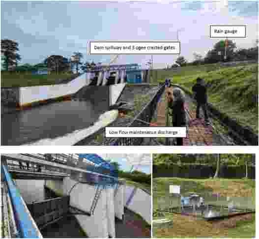
This study assesses the influence of climate change on rainfall and drought in the Benut River Basin (BRB), Malaysia to support the integrated management of Machap dam. The study seeks to reshape dam safety components in the near future through a technical focus group discussion (FGD) with key stakeholders. Utilizing the Coupled Model Intercomparison Project Phase 6 (CMIP6) dataset for the immediate future (2020–2040) under various scenarios (SSP1–2.6, SSP2–4.5, SSP3–7.0, and SSP5–8.5), historical Climate Hazards Group InfraRed Precipitation with Station data (CHIRPS) rainfall datasets (1981 to 2021) are employed. A multi-filtration process ranks twenty-three Global Climate Models (GCMs) using seven relative importance metrics (RIMs). This work's novelty lies in a focused GCM evaluation through individual contributions quantified with RIMs, providing a refined ranking that address the limitations of traditional metrics. Then, the Compromise Programming Index (CPI) aggregates the ranked models, with the top subset selected through Jenks Optimised Classification (JOC), identifying ACCESS-ESM1–5 and CMCC-ESM2 as top models. The selected GCMs were bias-corrected using the linear scaling method and validated before ensembled, effectively replicating the probability distribution function (PDF) of CHIRPS data, as confirmed by a Taylor diagram indicating the closest agreement.
The study reveals a generally wetter tendency in the northernmost area of Machap dam under all SSPs, with 5–9 % maximum increasing percentages. Conversely, downstream areas anticipate decreasing rainfall. June (6–22 %) and July (7–22 %) project higher rainfall, indicating increased water availability in a relatively dry period, while December (3–11 %) suggests increasing flood risk. The South West monsoon (SWM) anticipates lower rainfall in early March (3–7 %) and more severe dry periods in August (8–11 %). Future drought occurrences are projected homogeneously across scenarios, with drought months ranging from 15 % to 19 % of the 252 months under all severity classifications. In particular, the study enhances myDAMS by proposing continuous development of the guideline under diverse scenario for Machap dam's overall management and sustainability. Projected scenarios, coupled with outcomes from FGD, can inform basin-scale dam management, aiding risk mitigation for critical dam infrastructure.
