The role of global data sets for riverine flood risk management at national scales
29 March 2022
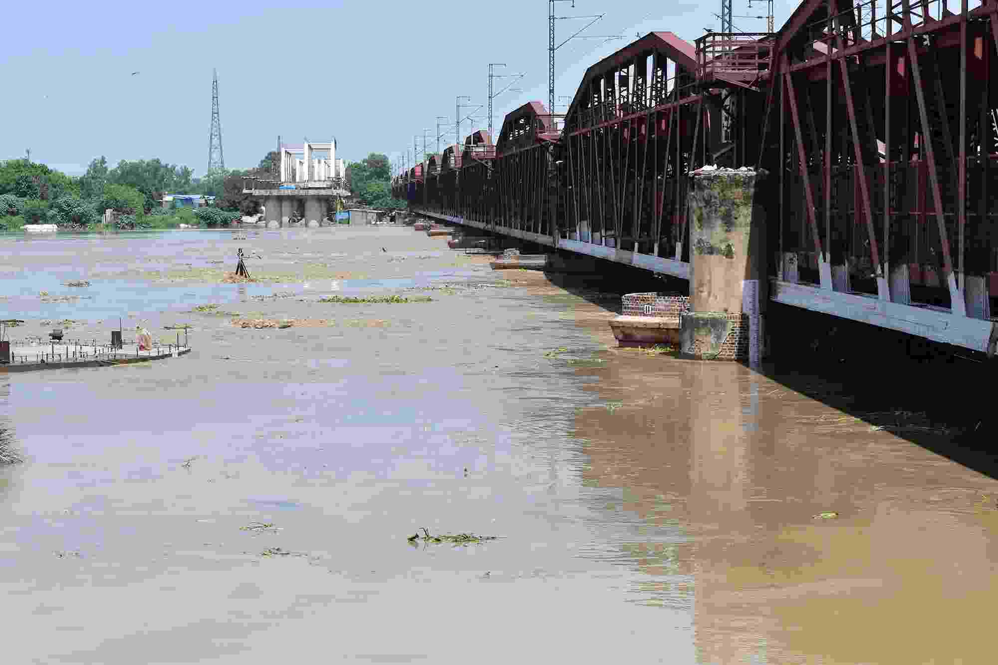
The Yamuna river at dangerously high levels following the August 2019 flood
Authors: Mark V. Bernhofen, Sarah Cooper, Mark Trigg, Anna Mdee, Andrew Carr, Ajay Bhave, Yady Tatiana Solano-Correa, Edgar Leonairo Pencue-Fierro, Ermias Teferi, Alemseged Tamiru Haile, Zulkifli Yusop, Nor Eliza Alias, Zulfaqar Sa'adi, Muhamad Anwar Bin Ramzan, C. T. Dhanya, Prabhakar Shukla
To adequately manage flood risk, it is important to understand where flood risk is greatest. Over the last two decades, several data sets have been developed to assess flood risk at the global scale, with some becoming detailed enough to be informative at national scales. The use of these data sets nationally could have enormous benefits in areas lacking existing flood risk information and allow better flood management decisions and disaster response.
In this study, the authors investigate how useful these global data sets are for assessing flood risk in five countries: Colombia, England, Ethiopia, India, and Malaysia. Findings show that there is significant disagreement between national flood risk estimates, suggesting that some data sets could be of significant value for national flood risk management, whilst others are not detailed enough or too outdated to be relevant. Beyond that, the authors show that the usefulness of global flood risk data for national flood risk management is also determined by the national context in which they would be used.
