Hydrological simulation in a rift-bounded lake system and implication of water abstraction
Central Rift Valley Lakes Basin, Ethiopia
02 December 2022
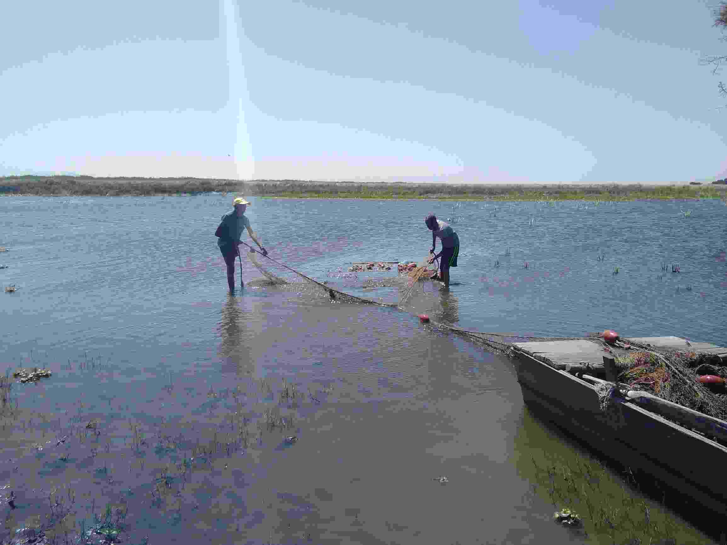
Fishing in Lake Ziway is an important livelihood for many residents
Authors: Sisay Kebede Balcha, Adane Abebe Awass, Taye Alemayehu Hulluka, Gebiaw T. Ayele, nd Amare Bantider
The Katar and Meki subbasins play a significant role in supporting the livelihoods of people in the region. However, the subbasins are currently under heavy human pressures, mainly associated with the ever-increasing human population and the subsequent intensification of irrigated agricultural activities. The aims of this study are to quantify the water balance components of the Katar and Meki rivers using the Soil and Water Assessment Tool (SWAT) model and to assess the implication of water abstraction on river hydrology. The Katar and Meki subbasins were discretized into 107 and 87 micro-subbasins, which were then subdivided further into Hydrologic Response Units (HRUs) of 683 and 658, respectively. Hydro-meteorological data from 1997 to 2014 were used for model setup, calibration, and validation. Nash–Sutcliffe Efficiency (NSE), coefficient of determination (R2), and Percent Bias (PBIAS) were used for model performance evaluation. The results of the simulation revealed NSE = 0.68–0.83, R2 = 0.72–0.85, and PBIAS = 1.6–22.7 during calibration and validation. More than 65% of the simulated flow was bracketed with the 95PPU for both subbasins, with the thickness of the 95PPU in the range of 0.90 to 1.41 calibration and 1.15 to 1.31 validation, which indicates that the overall performance of the water balance model can be rated as “very good”. The results of the water balance show that evapotranspiration (ET), surface runoff (Qs), and groundwater discharge (Qgw) were large in the Meki subbasin, while percolation (PERC) and water yield (WYLD) were large in the Katar subbasin. The model estimated 140 and 111 mm of average annual WYLD for the Katar and Meki subbasins, respectively, and the Katar subbasin is a major contributor of water to Lake Ziway. A total volume of 19.41 million cubic meters (MCM) of water is abstracted from Katar and Meki rivers for irrigation and domestic use, which significantly reduces Lake Ziway’s level by 4.5 cm (m). If the current trend of development continues, 149.92 MCM water will be abstracted each year from the lake environment and will reduce the lake level by 1.72 m. It is suspected that the Katar and Meki rivers are likely to cease to exist after a few decades and that Lake Ziway will also dry out.
