Effect of the tide on flood modeling and mapping in Kota Tinggi, Johor, Malaysia
14 March 2022
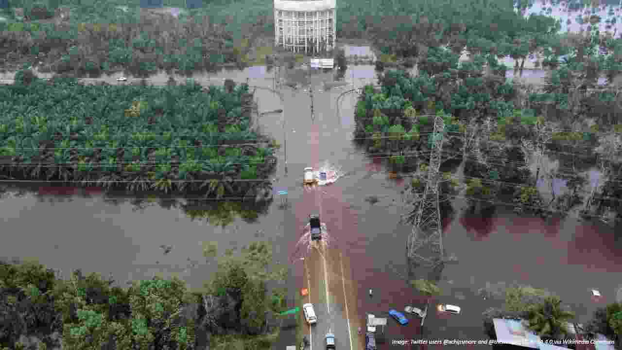
A flooded area in Kuantan, Pahang during the December 2021 Malaysian floods
Authors: Nor Zaiha Arman, Salmiati Salmiati, Azmi Aris
This study aimed at mapping the Kota Tinggi flood event in 2006/2007 that had caused massive damages to properties and the environment. The flood was associated with unusually high intensity and continuous rainfall, and high tide. Therefore, a reliable technique of floodplain mapping is crucial for the improvement of flood control strategies and for preparing an evacuation plan. The main objective of this study is to incorporate the effect of tide on flood modeling analysis. The inundated areas were mapped for various annual recurrent intervals (ARI) using peak flow data from 1965 to 2010. The study used Light Detection and Ranging data for flood modeling using HEC-HMS, HEC-RAS, and HEC-GeoRAS. The Generalized Extreme Value model was found to be the best fit for the annual flood simulation. The HEC-HMS hydrologic model was calibrated and validated using observed hydrographs in September 2002 and January 2003, respectively. Due to riverbank overflow, the level-discharge rating curve during flood events is not valid which causes underestimation of the peak flow in the observed flow. Therefore, the simulated hydrographs which model the actual peak flow provide more reasonable results of 625.3 m3/s for the December 2006 flood and 743.9 m3/s for the January 2007 flood. The modeling took into account the tidal effect. When the tidal effect was not considered, the simulated flood depth was 43% lower than the observed flood. However, the inclusion of the tidal effect has reduced the simulation error with an average similarity with the observed flood at 91.4% based on site verification. The simulation results show that the river flow starts to over bank for ARIs exceeding 25 years.
