Collaboratory update June 2021 | Colombia
In Colombia (particularly in the southwest), the socio-political protests - and the violent militarised response - amidst a third wave of the pandemic, have impacted our colleagues' ability to work safely in recent weeks.
01 June 2021

Wayuú community members using a water well, La Guajira, Colombia
Food and fuel shortages, road blockades, and internet blackouts are to name but a few of the issues our colleagues are dealing with. Our Colombian team are, however, remarkably resilient and continue to adapt to the complex situation.
Strengthening the relationships formed with stakeholders involved in the Hub’s work, over this quarter the team have coordinated meetings between water and sanitation community organisations AQUACOL and FECOSER and produced videos about the two organisations. They have also held meetings with the indigenous reservation of Kisgó and campesino organisation ASOCAMPO (in the Las Piedras sub-basin). Further progress has also been made on the Rapid Research Fund project, with the team beginning work on a policy guidelines document and an article about community management of water in regards to the COVID-19 pandemic. Additionally, a framework for research into sustainable management of sedimentation by-products in cassava starch processing plants is being developed.
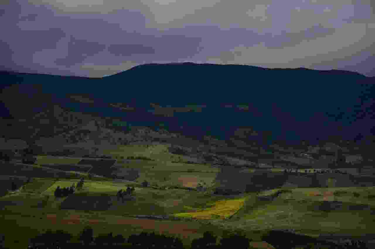
Fields on the hillside, River Palacé upper basin
As well as this, the Colombian team met with the Mayor’s offices of Coconuco, Cajibío, Popayán, and Silvia (all located in the department of Cauca). An additional series of consultations and a field trip with the Mayor’s office of Jamundí, specifically focused around Payments for Ecosystem Services (PES) activities planning, have also been held. Meetings with CRC, an organisation centred around sustainable development and natural resource management, have been held in preparation of the consolidation of the Upper Cauca River regional group for water management in the basin.
Work on the evaluation of water sustainability in the Guachal River sub-basin has reached the data analysis phase – quantifying the water footprint (blue, green and grey) for the basin’s main production systems. Calculation of the water footprint for mainland uses in the Guachal watershed (for instance, sugar cane, livestock, urban dwellings), is in process, and after this analysis a spatial indicator will be established to show the water sustainability of the basin.
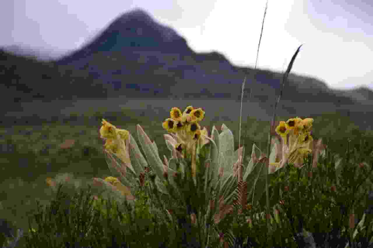
Yellow flowers on the paramo, River Palacé Basin
Water supply analysis is underway in both the Las Piedras and Palacé sub-basins including modelling of hydrological dynamics and geomorphological characteristics. The team is trialling methods for studies of the correlation between hydrological models and land cover and land use maps, and aim to identify possible drivers of variability in water quality according to land covers surrounding water sources. The use of satellite images and remote sensing for analysis of land cover and water quality evolution over time also continues, with four land classifiers tested and studies into algorithms for water quality quantification carried out.
The Colombia team is expanding research on pluralistic water values, putting together a strategic concept of water governance values that provides a link to bridge values and water security. Linking to this, research into valuing hydrological ecosystem services is also taking place, with a deeper analysis of the interactions and dynamics around the supply of water ecosystem services in the UCRB carried out. The team is making progress on determining trade-offs between productive activities and the supply of hydrological ecosystem services, and are also exploring the importance of conservation areas in maintaining water supply.
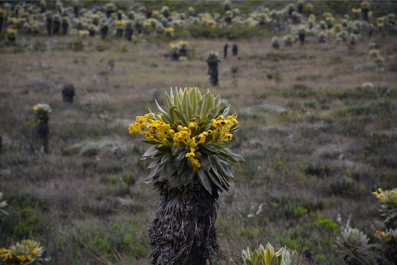
Plants on the paramo, River Palacé Basin
Part of the team's research is on the weaving of knowledge as an integral strategy of food sovereignty while facing climate variability in an indigenous community. In this line of work, the main area of study has been finalised as the Kisgó indigenous reservation. A huge amount of work on this area has already taken place, including drone flights to identify areas of interest; a schematic of the similarities and differences between Kisgó indigenous traditional knowledge and scientific knowledge in terms of water, production systems, climate, and conservation drafted; documentation of the cosmovision, ontology and epistemology of the Kisgó; a two-minute video summarising the community’s ancestral process of ‘sowing water’; and planning for planting and monitoring, and digitally documenting the planting of over 22,000 native trees over a month in the reservation, as part of the process of ‘sowing water’.
In May, the team led a keynote conference session titled ‘Micropollutants in the Upper Cauca River Basin’, sharing research on the identification of key drivers for microbiological hazards, and the ecological threat and spatial behaviour of micro-contaminants and micro-pollutants in the Upper Cauca River Basin (UCRB). A paper on this topic is currently in progress.
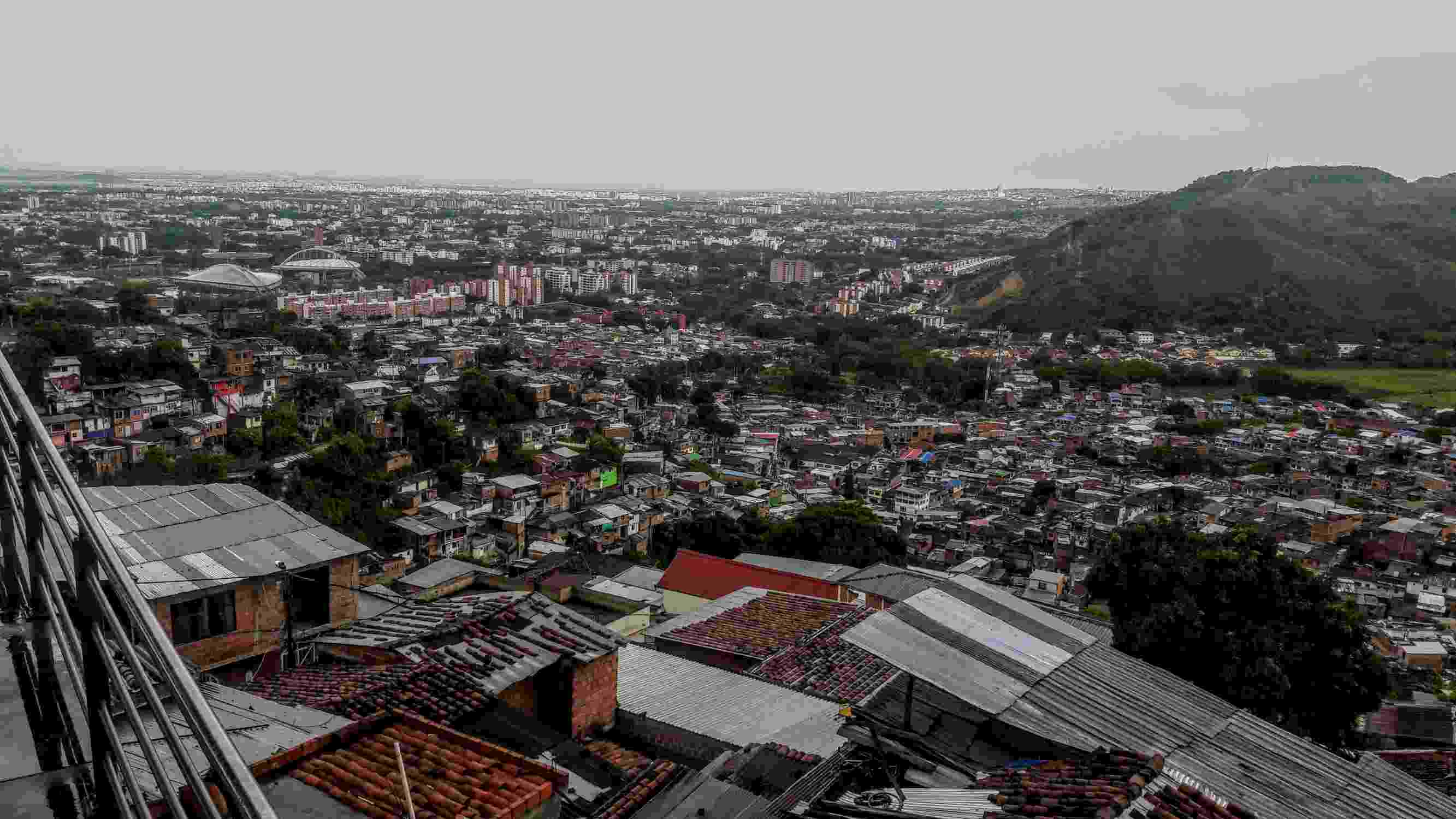
Outskirts of Cali city
Finally, preparation is underway for the planned Domestic Water Use Practices Survey. Discussions with personnel from the Cali water utility company, EMCALI, looked at the company’s geographic information systems (GIS) and supervisory control and data acquisition (SCADA) systems. Similar meetings took place with Aquasur and Aquanariño, to validate the information status for community information system structure, prioritising the technical component and its GIS representation. This survey will provide the team with an idea of the ways water is used in homes in the city of Cali.
